Summary of the Geography of Antarctica
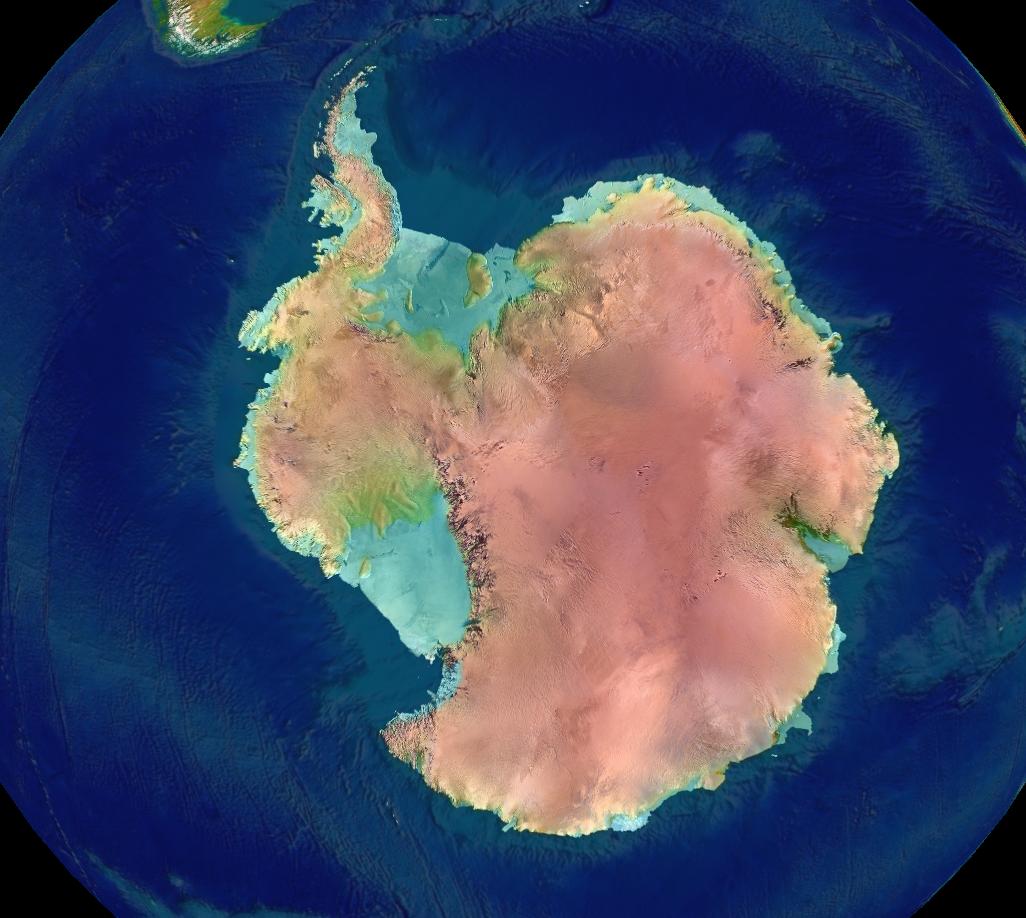
Antarctica, located in the Earth's southern hemisphere, is centered around the South Pole and mostly lies south of the Antarctic Circle. It is the largest ice desert in the world, with approximately 98% of its area covered by the Antarctic ice sheet, the world's largest reservoir of fresh water. The ice sheet averages 1.6 km thick and depresses the continental bedrock in some areas by over 2.5 km.
The Transantarctic Mountains divide Antarctica into two main regions: Western and Eastern Antarctica. Western Antarctica is covered by the West Antarctic Ice Sheet, which raises concerns about the possibility of its collapse, potentially leading to a significant rise in sea levels.
Antarctica is home to numerous volcanoes, both active and dormant. The most notable active volcanoes include Mount Erebus and Deception Island. Researchers have recently discovered 91 underwater volcanoes beneath the West Antarctic Ice Sheet, indicating potential volcanic activity in the region. The formation of volcanoes in Antarctica is characterized by specific lava compositions and distinct shapes depending on their subglacial or above-ice location.
Additional Notable Features
- Glaciovolcanism: The interaction between magma and ice sheets has led to the emergence of unique volcanic characteristics, such as sub-glacial eruptions and ice-marginal volcanism.
- Marie Byrd Land: A large portion of West Antarctica, Marie Byrd Land consists of volcanic rock formations and contains several exposed and subglacial volcanoes.
- Canyons: Antarctica's icy surface conceals three vast canyons that run for hundreds of kilometers, carved out by glaciers and buried under layers of ice.
- Research Stations: Various nations maintain research stations in Antarctica to study its unique environment and conduct scientific investigations.
- Territorial Landclaims: Seven nations have made official territorial claims within Antarctica, although these claims are not universally recognized.